

Ten Hikes East of Cowles Mountain That Are Worth the Drive (Plus Two Rides for the Mountain Bikers)
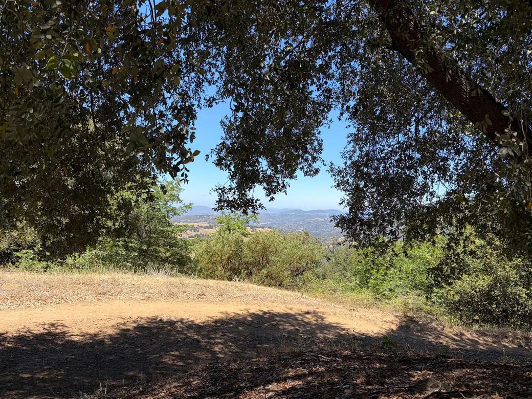
Ten Hikes East of Cowles Mountain That Are Worth the Drive (Plus Two Rides for the Mountain Bikers)
Everyone in San Diego has hiked Cowles Mountain. It is basically a rite of passage, a conga line with a view. But if you keep driving east on the 8, past the point where the strip malls give up, you hit the real stuff. These are the mountains I see out my window every day, and they do not mess around.
Here they are, ranked roughly from "bring the kids" to "bring your will to live."
1. Wright's Field, Alpine
Distance: flat meadow loops, as short or long as you want
Difficulty: A walk, and proud of it
Over 230 acres of protected open space right in town. Wildflowers in spring, old oaks, vernal pools, no suffering required. This is where Alpine walks its dogs and raises its kids. Start here if you are new to the area or breaking in new hiking boots and new hikers at the same time.
2. Merigan Trailhead, Descanso
Distance: about 3 miles out and back on the fire road, or roughly 6 miles if you loop the Sweetwater River trails
Difficulty: Easy to moderate
Elevation: around 3,500 feet
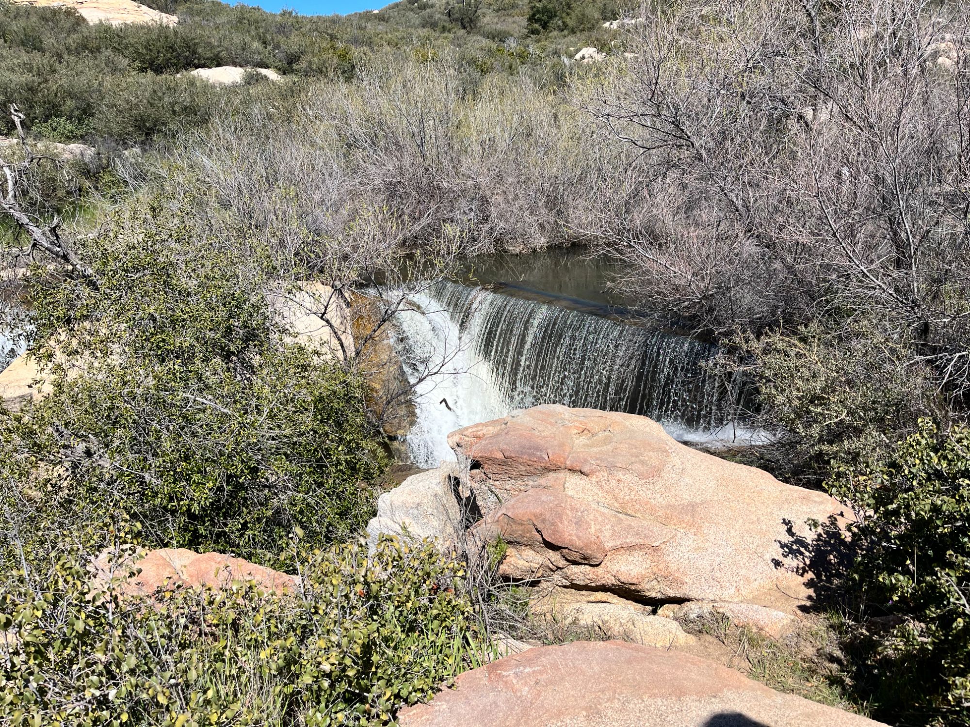
Descanso's best-kept secret, hiding five minutes off the 8. The Merigan Fire Road starts at a small lot on Viejas Boulevard just east of the Descanso crossroads and rolls through open meadow, oak woodland, and along the banks of the Sweetwater River. Keep an eye out for the spur to an old silted-in diversion dam that now works as an artificial waterfall, and the Dead Horse Falls spur when the water is running. Fun fact: generations of San Diego kids got introduced to this trail through sixth grade camp at Camp Oliver. Because it sits off the beaten Highway 79 path, you can have Cuyamaca scenery here with almost nobody around. Day use fee, honor system envelope at the trailhead.
Microclimate note: this stretch of the Sweetwater sits high enough that in a good winter the fire road has been used for cross-country skiing. In Descanso. Really.
3. Big Laguna Lake via the Sunset Trail, Mt. Laguna
Distance: about 4.7 miles as a loop
Difficulty: Easy-moderate, family friendly
Elevation: You are strolling a mountain plateau around 5,400 feet
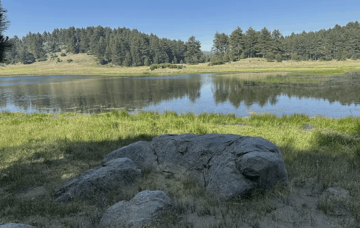
This loop combines the Sunset Trail, a stretch of the Pacific Crest Trail, and local paths through open meadows and pine forest to Big Laguna Lake, one of San Diego County's few actual mountain lakes. In a wet year the lake fills, the meadow goes green, and you will swear you are in Colorado. In a dry year it is more of a Big Laguna Suggestion, but the pines never disappoint.
Microclimate note: this is the spot when Alpine is baking. The Laguna plateau runs 15 to 20 degrees cooler than the valleys, and yes, it snows up here.
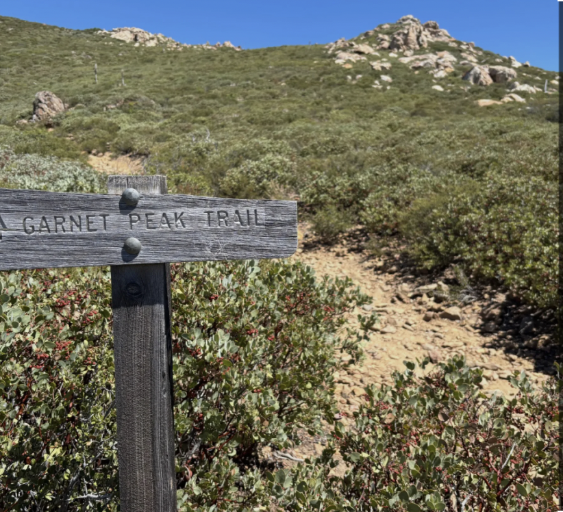
4. Garnet Peak, Mt. Laguna
Distance: about 2.4 miles round trip, around 600 feet of gain, topping out at 5,880 feet
Difficulty: Easy-moderate. Maximum payoff per calorie burned.
You stand on the edge of the Laguna escarpment and the ground just drops away into Anza-Borrego. On a clear day the views extend all the way into Arizona, and the peak is named for the garnet gemstone once mined in the area. This is THE sunrise hike. Locals do it with headlamps and coffee.
Microclimate note: this is where mountain air and desert air have their daily argument. It can be blowing 40 mph on the rim while Pine Valley sits dead calm.
5. Stonewall Peak, Cuyamaca (right up the hill from Descanso)
Distance: about 4 miles round trip with roughly 800 feet of gain
Difficulty: The friendliest peak in the county
Summit: 5,730 feet
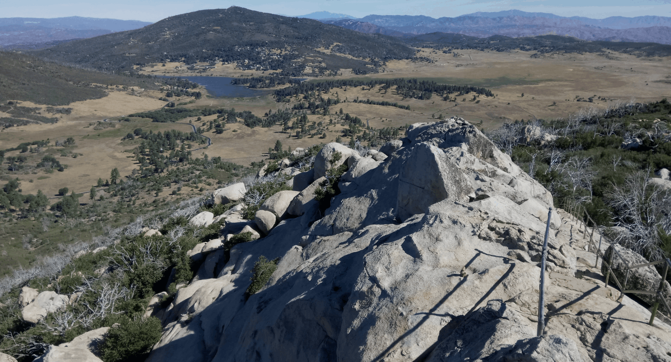
Switchbacks so polite you barely notice you are climbing, then a granite staircase with a railing at the top and a full 360 view including Lake Cuyamaca. Fun fact: the peak is named for the Stonewall Mine, a gold mine that once sat at its base and was one of Southern California's biggest producers. This is the best beginner "real mountain" in East County. Take the kids, take the out-of-town relatives.
Microclimate note: Cuyamaca sits high enough to catch real weather. Snow days here turn Highway 79 into a parking lot of San Diegans discovering sleds.
6. Volcan Mountain, Julian
Distance: about 5 miles round trip with roughly 1,200 feet of gain
Difficulty: Moderate, steady, never technical
Summit: 5,353 feet
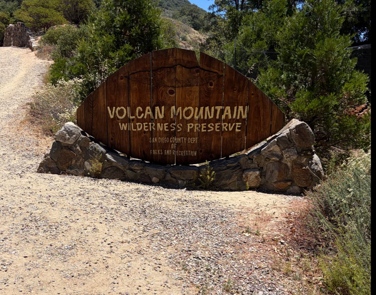
First things first: not a volcano. The name is likely an Americanization of the Spanish "balcón," meaning balcony, and the summit delivers on it. Volcan sits right on the ridgeline dividing the Pacific watershed from the desert watershed, so on a clear day you can see the ocean to the west and the Salton Sea to the east from the same spot. Fun facts: astronomers scouted this summit in the late 1920s as a possible home for the famous Hale Telescope before choosing Palomar, and the old beacon tower up top was part of a 1920s navigation system for Air Mail pilots. Take the Five Oaks Trail for the shady oak-grove version. Then go get pie. It is the law in Julian.
Microclimate note: high enough for real seasons. Fall color on the black oaks, occasional winter snow, spring wildflowers.
7. Big Laguna Trail Loop, Mt. Laguna
Distance: about 10 miles as a loop, with roughly 1,160 feet of gain
Difficulty: Moderate, but gentle about it
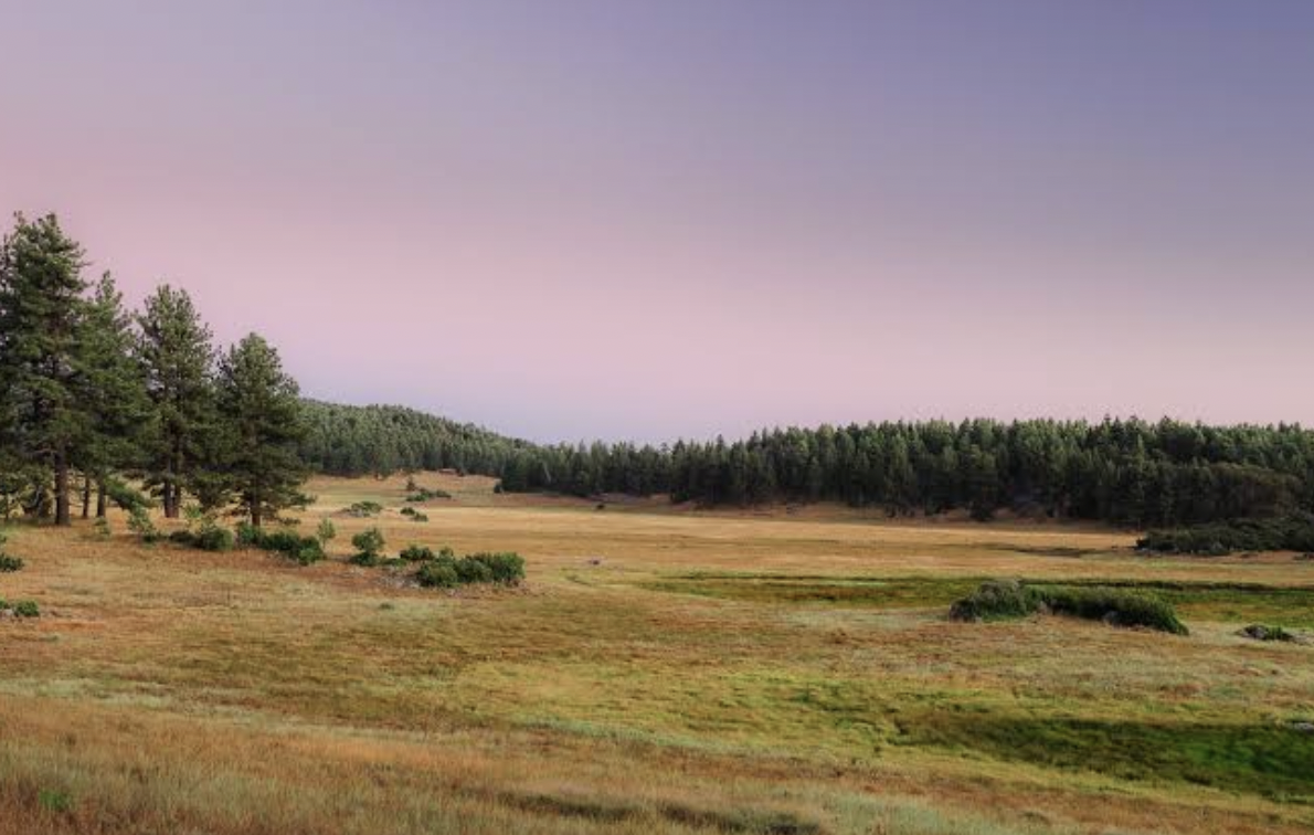
The full-size version of number 3. Mountain meadows, pine forest, the lake, a long stretch of the Pacific Crest Trail along the desert rim, and views that keep changing all day. Fun fact: hike it in spring and you will cross paths with northbound PCT thru-hikers about 45 miles into their walk to Canada, most of them freshly resupplied at the Mount Laguna General Store. Say hi. They have stories.
8. Three Sisters Falls, Boulder Creek (between Descanso and Julian)
Distance: about 4 miles round trip with roughly 1,000 feet of climbing, all of it on the way back
Difficulty: Moderate to hard, and honest about the order of operations
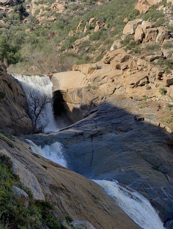
The falls: a three-tiered cascade totaling around 150 feet
San Diego's most famous waterfall hike, and one of the only trails in the county that starts at the top. You descend into the canyon, play at the falls, then earn it all back on the climb out. Fun fact: the old route down was so sketchy it involved ropes, so the Forest Service rebuilt the whole trail and trailhead, now called Cha'chaany Hamuk. Go late winter through spring when the water is actually falling. By late summer the falls take a vacation and so should you. Getting there is half the adventure: the last stretch of Boulder Creek Road is dirt, right out of Descanso.
Microclimate note: the canyon bottom traps heat and blocks the breeze, so it runs noticeably hotter than the trailhead. Cool morning starts are your friend.
9. Viejas Mountain, Alpine
Distance: about 3 miles round trip, with roughly 1,470 feet of gain
Difficulty: Short does not mean easy
Summit: 4,189 feet
This is Alpine's home mountain, and it does not believe in switchbacks. You gain about 100 feet of elevation every tenth of a mile, straight up the west face. The reward is real: the Kumeyaay people climbed Viejas to watch the sunrise on the winter solstice, and near the summit there is a rock shelter at the site of that earlier sacred ground. Standing up there at dawn, you get it.
Microclimate note: fully exposed, zero shade. Glorious in December, a griddle in July. Time it right.
10. El Cajon Mountain, Lakeside/Alpine border
Distance: roughly 11 miles round trip with around 4,000 feet of total gain, because this trail is famously uphill both ways
Difficulty: The final boss
Summit: 3,675 feet
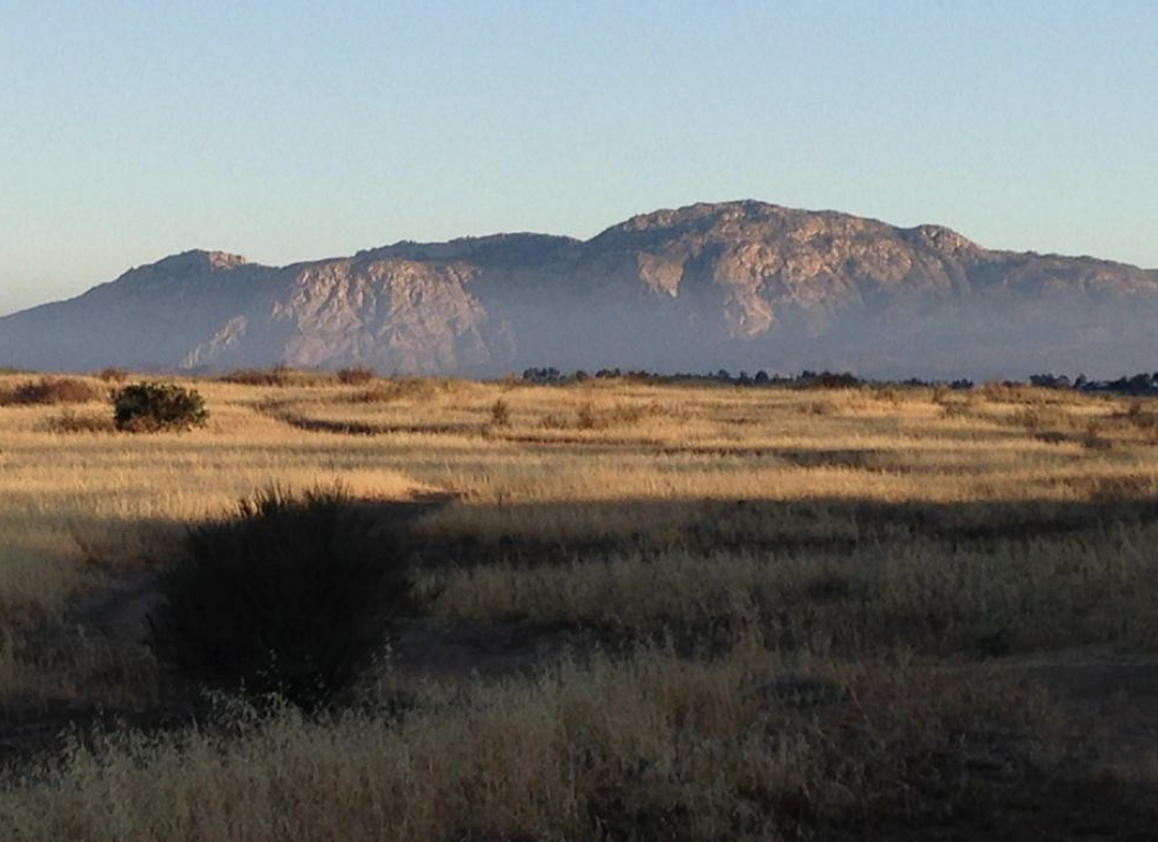
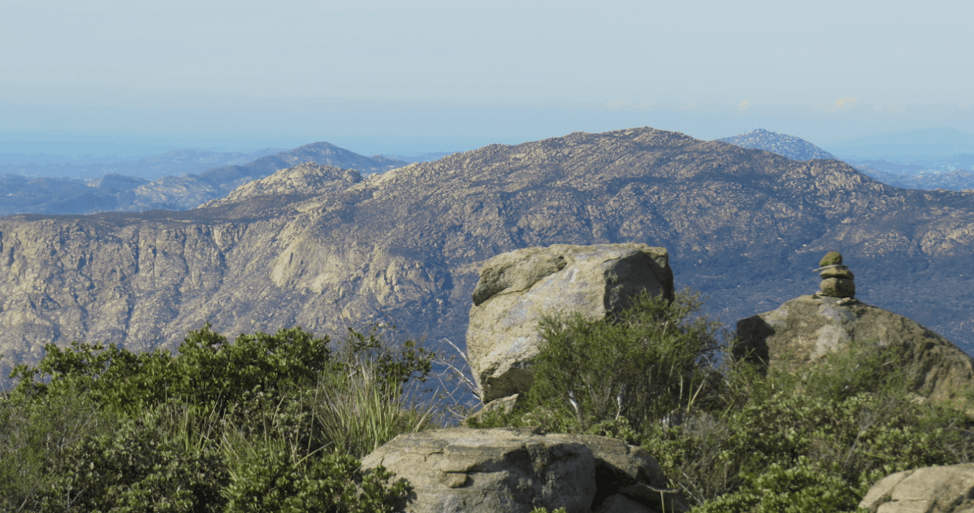
That massive granite face you see from the 8? Locals call it El Capitan after its Yosemite big brother. The trail is widely called the hardest hike in San Diego, and the total climbing is like doing Cowles four times in a row. Fun facts: you pass a rusted-out jeep abandoned on the mountain some 50 or 60 years ago, and the preserve closes entirely in August because the exposed trail gets that hot. Bring twice the water you think you need and clear your whole day. Finishers earn permanent bragging rights.
For the Mountain Bikers
Anderson Truck Trail, Alpine
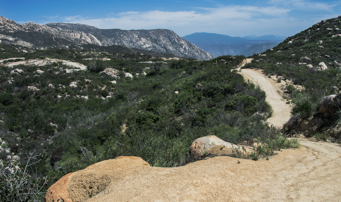
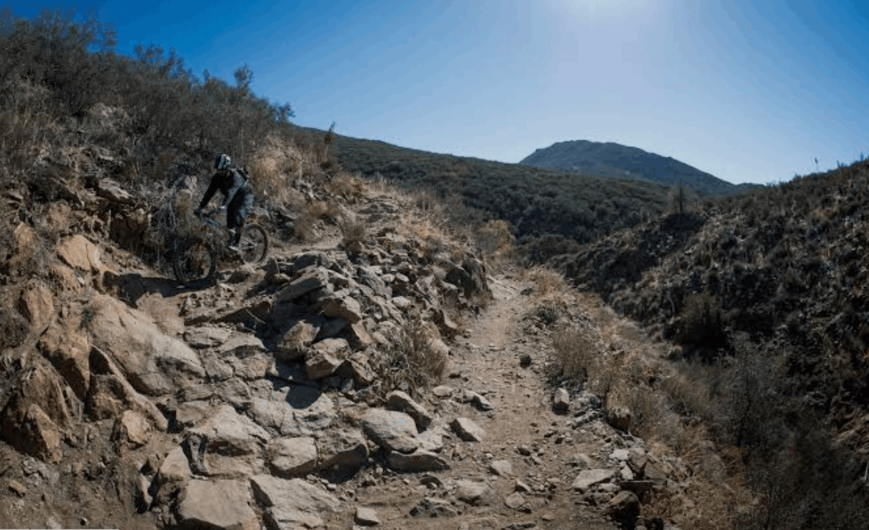
The local legend. ATT has been in use in one form or another for over 75 years, and what the maps still call a jeep trail evolved into some of the most loved technical descending in the county. The classic ride is a grinding three-mile climb followed by a fast, white-knuckle descent that riders drive out from all over Southern California for. Big important note: access has been in flux while the Forest Service works on an official road-to-trail conversion, and the lands east of the trail belong to the Capitan Grande Reservation and are off limits, full stop. Check the San Diego Mountain Biking Association's ATT page for current status before you ride, respect every gate and fence, and do not park at the residential trailhead. Ride it right so it stays rideable.
Noble Canyon, Mt. Laguna / Pine Valley
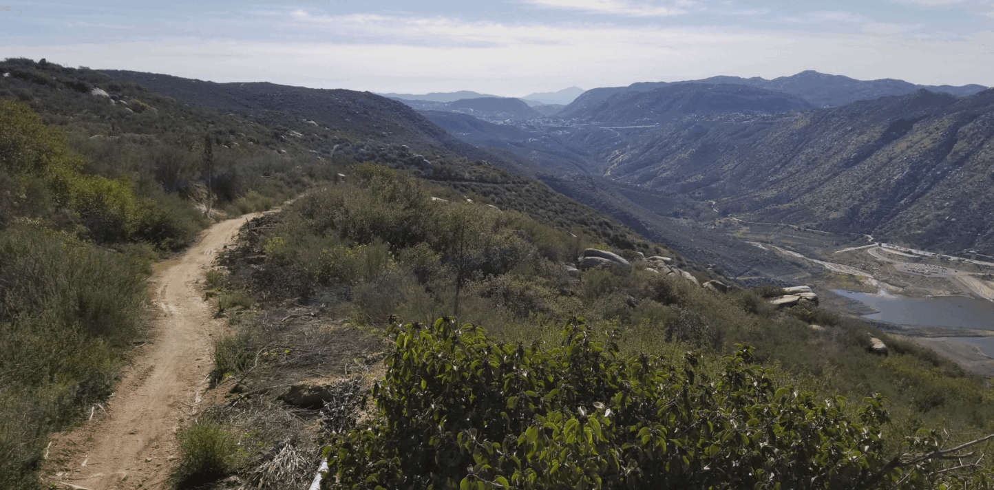
The So-Cal classic. The famous shuttle version runs about 10 miles with roughly 2,450 feet of descent, dropping from pine forest at the top through chaparral and into near-desert terrain at the bottom, three ecosystems in one ride. Expect rock gardens, tight switchbacks, water crossings, and sections that humble even strong riders. Pair it with the Big Laguna meadow trails up top for a bigger day. Adventure Pass required to park.
Here is the part I cannot help but mention. Every one of these trails starts within about 30 to 40 minutes of the communities I sell in. That is not a hiking tip, that is a lifestyle. When people ask me why folks move to the mountains, I usually just point out the window.
Categories
Recent Posts







GET MORE INFORMATION